A new app has been released to help improve drone safety in the UK.
Developed by the UK Aeronautical Service NATS, the app integrates the excellent data services from Altitude Angel providing a very detailed overview of potential ground and air hazards.
I’ve been testing the iOS version and would like to share some details as I think all drone pilots should download this app and use it prior to flying as well as at your chosen location. In short, it’s an excellent resource.
-
Aeronautical Service -

dronesafe.uk -

Altitude Angel
“With the number of drone incidents on the rise, it’s clear that many people are unaware of the rules as set by the Civil Aviation Authority or their legal obligations as pilots. Drone Assist is designed to help everyone abide by the rules, identify areas of controlled and restricted airspace, therefore helping them to enjoy flying whilst ensuring their safety and the safety of other airspace users.” – Phil Binks, NATS drone lead
How it works
Firstly, the app requires that you set up an account. If you already have an account with Altitude Angel you can login straight away with those credentials.
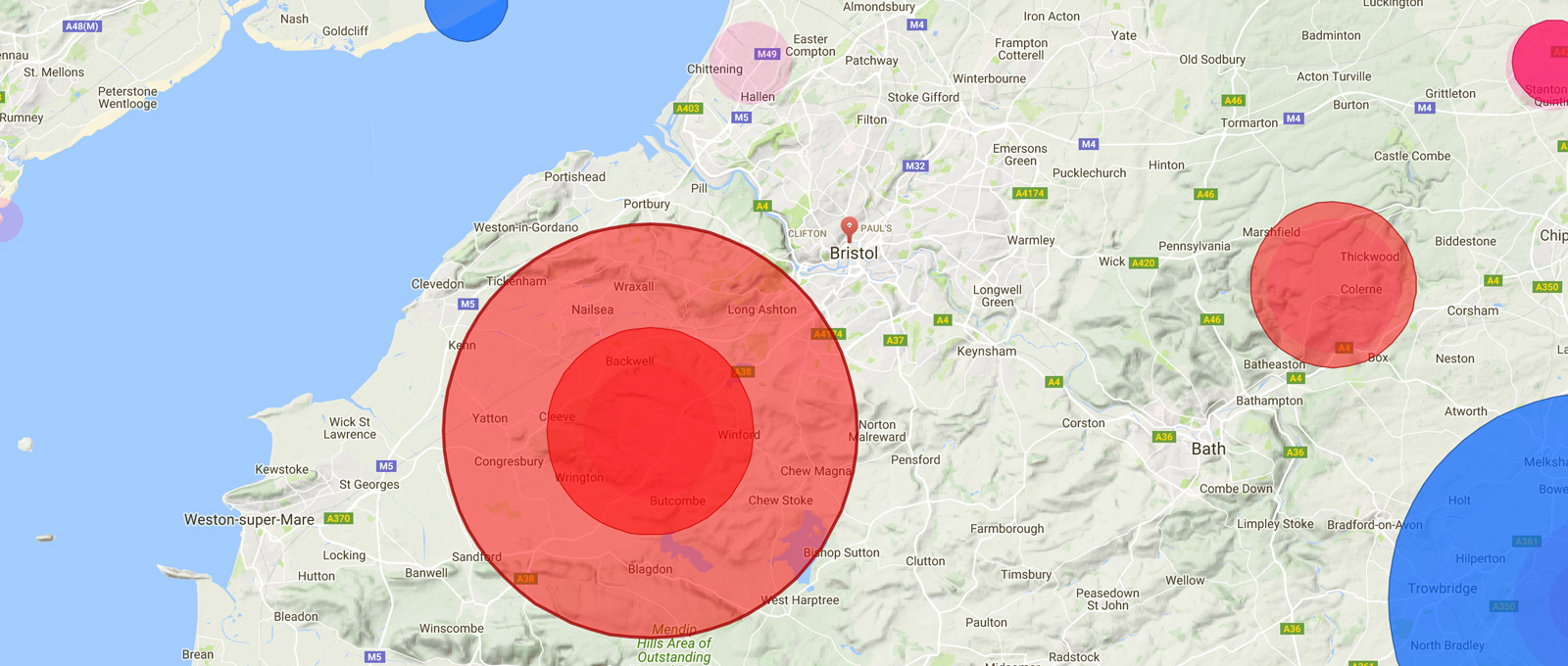
The app’s core functionality is quite simply a map just like the regular Apple / Google Maps apps respectively. How it differs is by layering highly relevant data for drone users, such as; Airports, Danger Areas, Restricted Zones, Ground Hazards, and any active NOTAMS (Notice to Airmen).
The app’s user interface is presented in a clear way that should make it obvious to anyone where you should not be flying. It’s worth fully familiarising yourself with the various data on offer, which I’ll go into a bit more detail on now.
Map Detail
At a zoomed-out level you can get a good idea about large zones which may be either fully restricted, airports for example, or that may require extra caution, such as active NOTAMS which may reveal special events, such as scheduled Hot Air Balloon flights.
Zooming-in begins to reveal ground level objects, areas, and specific locations for consideration. For example it will display recognisable icons to show you sensitive locations such as schools and areas where large public gatherings may take place. All of which should give pause for thought before deciding to fly a drone nearby. You can tap any of these icons to reveal detailed descriptions.
-
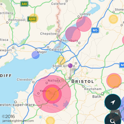
Map Detail -

Ground Hazards -
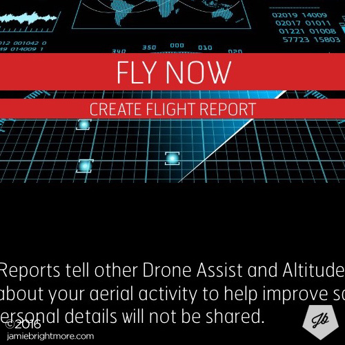
Flight Report
Fly Now
This is an amazing feature which will allow you to set up a temporary Public Flight Report to inform others that you are flying in a certain area… all right from inside the app! All you need to do is tap ‘Fly Now’, add a flight Title and optional Description, then select if it’s a Recreational or Commercial flight. Note: no personal details will be shared.
Your reported info and location will be used to create a temporary zone on the map so others can see that there are drone activities happening in that location. This is a valuable feature and I hope people begin to use it. Situational awareness is a key factor in safe flying and knowing there may be other drones flying near to you will be incredibly useful.*
*I will be trying this feature out very soon and will report back by updating this article with my thoughts on how this functionality performs.
Conclusion
The app works extremely well and I urge everyone to use it.
Download ‘Drone Assist‘ for iOS
Download ‘Drone Assist‘ for Android
Press release: https://blog.altitudeangel.com/2016/12/02/introducing-drone-assist-from-nats-powered-by-altitude-angel/
SUBSCRIBE FOR FRESH CONTENT
Follow me on social media for updates.